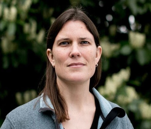
Sarah Photo

Sarah Battersby

Presentations.

I love writing and speaking to broad audiences about all things geospatial to make technical topics understandable and approachable.

This page has samples my customer-facing and (slightly more) academic presentations, with links when they've been recorded and posted somewhere.

The Record with Bill Radke (KUOW), 2019
Sarah Battersby is a cartographer with Tableau Software. And she says all maps are wrong. There’s gaps in technology, we’re not great at gauging distances, and – like everything else – maps are subject to bias.
Northern New England Tableau User Group, 2022
Asking and answering interesting questions about location and spatial proximity in Tableau
VizConnect, 2021
See how excited Sarah can be giving a talk at 5.30am!

Learn from Sarah Battersby Principal Research Scientist on the Tableau Research team about numerous map types possible in Tableau – from the standard options to some of the fun and custom maps that you can add to your spatial visualization repertoire. Along the way she’ll talk about ways that different map types can help unlock hidden patterns in your data.
Houston Non-Profit Tableau User Group, 2021
Explore the range of maps and analytics that are possible in Tableau - from a few of the standards to some of the more specialized analytic methods and map types that you can add to your spatial visualization repertoire.
RGS-IBG GIScience Seminar Series, 2021
Discussing a variety of challenges of spatial in the world of self-service analytics. This presentation approaches the topic from a user-centered point of view with emphasis on some of the oddities of spatial data that can lead to problems with seeing, understanding, and trusting the results of spatial analytics.
Tableau Conference "Conversations" , 2019
Kent Marten and I tackle an important question — what’s the big deal with maps? Part of the Tableau Conference 2019 data conversations series
Tableau Conference, 2019
Do you have spatial data? Do you think maps are awesome? We do and we want to help you answer your spatial questions more effectively in Tableau. This session is framed around a set of common spatial questions (e.g. where is it, how far is it, how it is distributed, what is nearby, what is here, how does it compare to {location}) with demonstrations of our favorite practices for creative use of mapping and non-mapping viz features in Tableau. Learn about the built-in GIS capabilities of Tableau and take your spatial analytics to the next level! Session Speakers: Sarah Battersby and Kent Marten
Tableau Conference, 2017
It's easy to make a map in Tableau. Unfortunately, it's also easy to make a bad map. This session will introduce cartographic best practices for building better, more effective maps in (and outside of) Tableau. Expect to address principles of map design (including matching your map to the audience and question), choosing the right map type, designing more effective tool tips, and general symbolization techniques to help make your map more intuitive and effective. Come learn how to better see and understand the patterns in your spatial data.